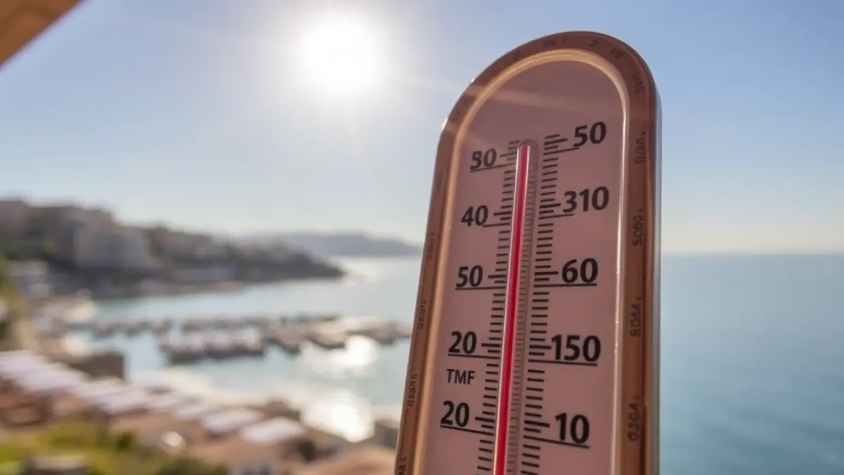
Meteorological forecasts indicated that this Monday would see record maximums, and this has been confirmed. The station in central Pego reached 30.6 degrees Celsius, the highest temperature in La Marina Alta. The heat was intense throughout the interior of the region, with l'Atzúvia also surpassing 30 degrees, while Ràfol and Vall de Gallinera recorded over 29 degrees.
Even in coastal areas, the weather was surprisingly warm for spring, especially north of Cap de Sant Antoni. The Dénia Yacht Club station reached 27.8 degrees, according to Avamet data, and the Joan Chabàs station recorded 27.5 degrees. In the pre-coastal area, towns such as El Verger, Orba, and Els Poblets registered temperatures above 27 degrees.
These values significantly exceed the usual average temperature for April in La Marina Alta, which typically ranges between 16 and 17 degrees. Normally, maximums do not exceed 22 degrees, a situation not observed on this occasion. Another notable aspect is the high minimum temperatures. Although a tropical night did not occur, the thermometer did not drop below 17 degrees in stations like Parcent, Pego, and Sagra, and below 16 degrees in Xàbia, Vall d'Ebo, Calp, Vall de Laguar, and Pedreguer.
This situation is due to a very warm air mass that has brought temperatures more typical of June than April. The forecast indicates that the heat will continue for the next few days. On Tuesday, maximums will offer a slight respite, but will rise again by Wednesday. From Thursday, a more pronounced drop is expected, but temperatures will recover again towards the weekend. By then, there will be a risk of some showers that could be accompanied by mud, although values will remain above normal, and beaches will continue to be a popular destination.
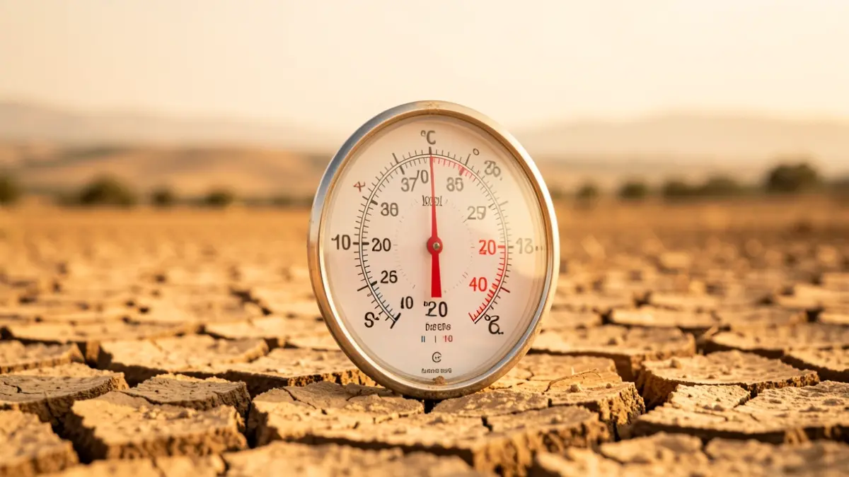
According to the State Meteorological Agency (Aemet), the arrival of this subtropical air mass will also bring suspended dust. This fact is further evidence of how summer is arriving earlier and lasting longer, with up to six or seven months of summer temperatures, as a consequence of climate change.