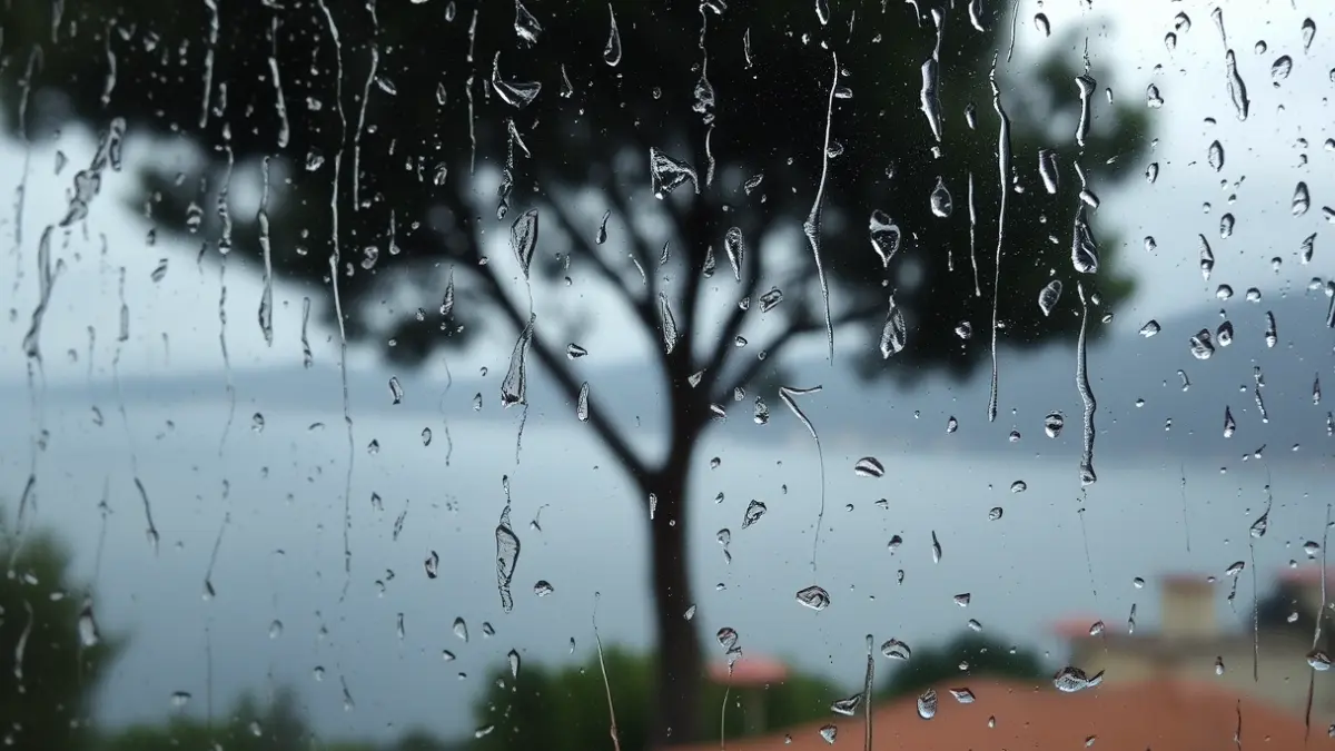
The sunny days of the past are giving way to increased instability in the region. Between this coming Friday and Sunday, a trough will approach the Peninsula, resulting in very irregular showers and thunderstorms.
According to MeteoParcent, on Friday, the entry of maritime wind along with cold air could bring weak orographic precipitation. For Saturday and Sunday, the arrival of a new cold air mass will reactivate storms, with several lines of precipitation expected from the interior towards the coast, with an irregular distribution and locally strong intensity.
“"With the arrival of spring and the increase in daylight hours, the Earth's surface heats up more. This, along with the presence of cold air aloft, creates a favorable environment for the development of storms."
Furthermore, the Climatology Laboratory of the University of Alicante has indicated that these precipitations could be accompanied by mud, due to the presence of suspended dust. Aemet forecasts a probability of rain between 95% and 100% in most areas of La Marina Alta, especially on Friday and Saturday.
However, the university laboratory clarifies that automatic municipal forecasts with rain probability percentages are not reliable in situations like these, where it can be raining heavily in one neighborhood and not a drop in the next.