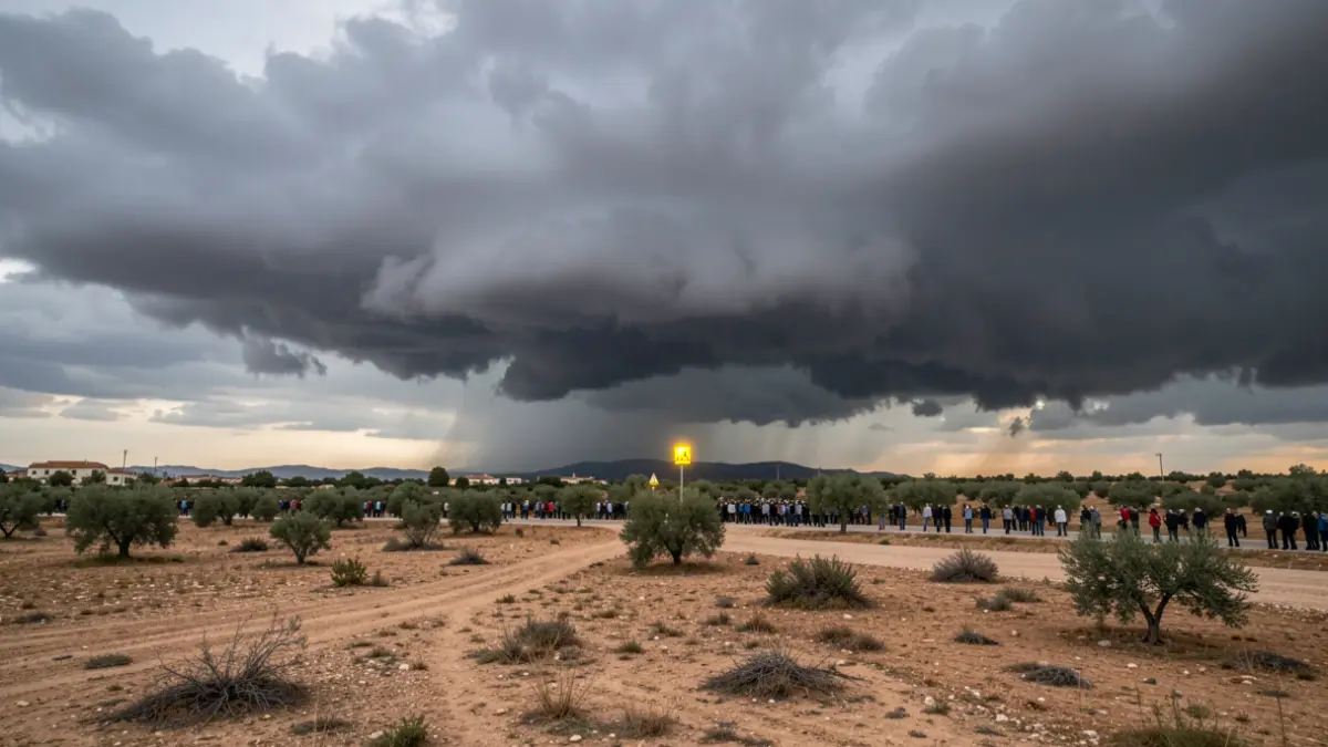
The State Meteorological Agency (Aemet) has activated the alert for this afternoon, starting at 1:00 PM. The day, which began with a clear or partly cloudy sky, will see cloud formation inland from midday, leading to locally heavy rainfall. The most affected areas will be Rincón de Ademuz, Plana d'Utiel-Requena, Serranía, Vall de Cofrents-Aiora, and Foia de Bunyol. In the afternoon, showers will move north, also affecting Camp de Túria, Alt Millars, and Alt Palància, with lower probability in Alcalatén and Maestrat.
A feeling of mugginess, due to high humidity, will mark the day. Minimum temperatures will range between 20 and 24 degrees in much of the territory. Maximum temperatures will slightly decrease in inland Valencia, while rising slightly in the northern coast. The wind will be light in the morning and turn to the east in the afternoon, tending to strengthen.
The forecast for the coming days indicates a rise in heat. On Monday, storms will be concentrated mainly between Alt Millars and Serranía, with possible isolated showers also in the mountains of inland Alicante, especially in the Sierra de Mariola. The rest of the Valencian Community will experience sunshine, with stable temperatures. On Tuesday, maximum temperatures could exceed 35 degrees in the central regions and be around 30-33 degrees on the coast. Afternoon clouds will only bring weak and isolated showers to the north. By Wednesday, temperatures will slightly drop in some coastal and inland areas of Castellón, but the weather will remain hot.