
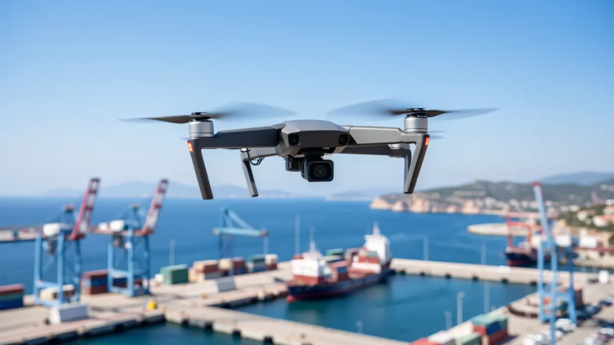
The Port Authority of Alicante commenced drone flights this Thursday to develop a 3D geospatial survey project covering the entire port complex, seeking to advance the digitalization, planning, and intelligent management of its infrastructure.
The project involves high-precision aerial data capture using LIDAR technology and advanced photogrammetry systems. Drones will generate a point cloud with a separation of just two centimeters, enabling a detailed and up-to-date digital representation of the entire Alicante port.
The collected information will optimize future maintenance, construction planning, space management, and logistics operations. Furthermore, this digital foundation will serve as the basis for creating a digital twin of the Port of Alicante, featuring three-dimensional models and sophisticated technical analysis tools.
“"The integration of intelligent technologies like drones and 3D geospatial survey systems will provide us with high-precision strategic information to enhance the planning, management, and sustainability of our infrastructure."
Luis Rodríguez added that the entity continues to work towards “consolidating a smarter, more efficient port prepared to meet future challenges”.
The geospatial survey will facilitate the technical analysis of infrastructure, operational surfaces, access points, and logistics areas, improving decision-making for the port's growth and modernization. Drone usage offers advantages over traditional topographic measurement systems, including faster data acquisition and safe access to complex port areas.
According to the Port Authority, the obtained data will also strengthen the monitoring and control capabilities of the premises, facilitating the future integration of digital cartographic bases into new intelligent port management systems. This initiative aligns with the innovation and digitalization strategy promoted by the Port of Alicante.