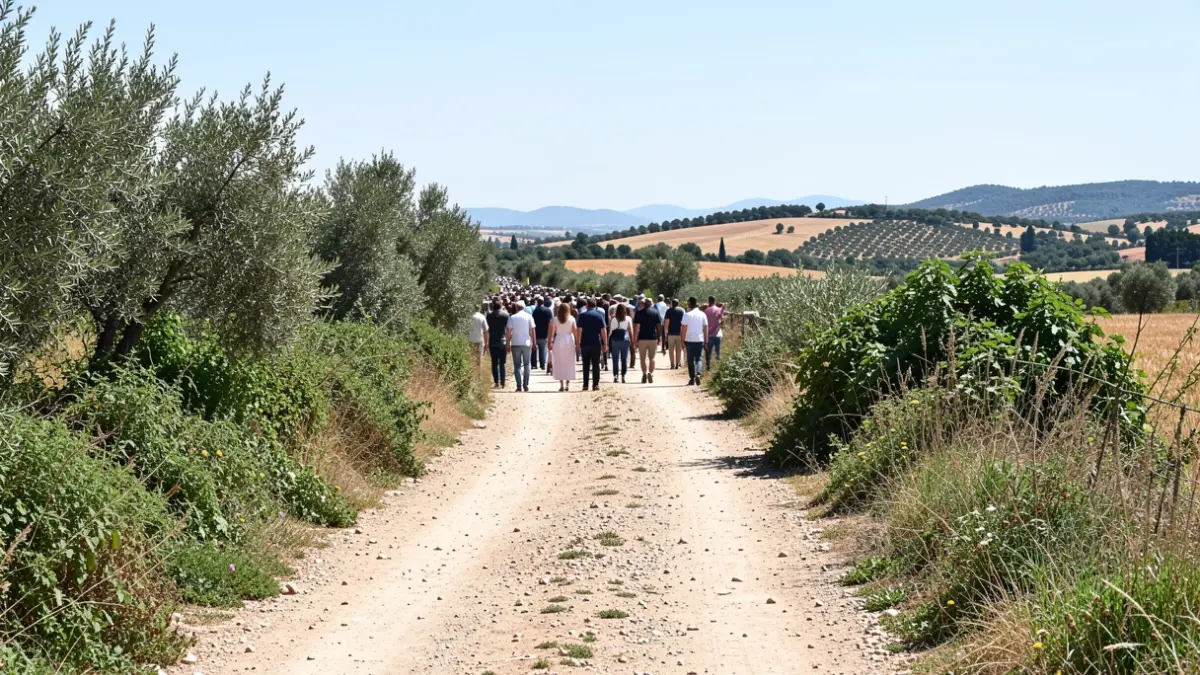
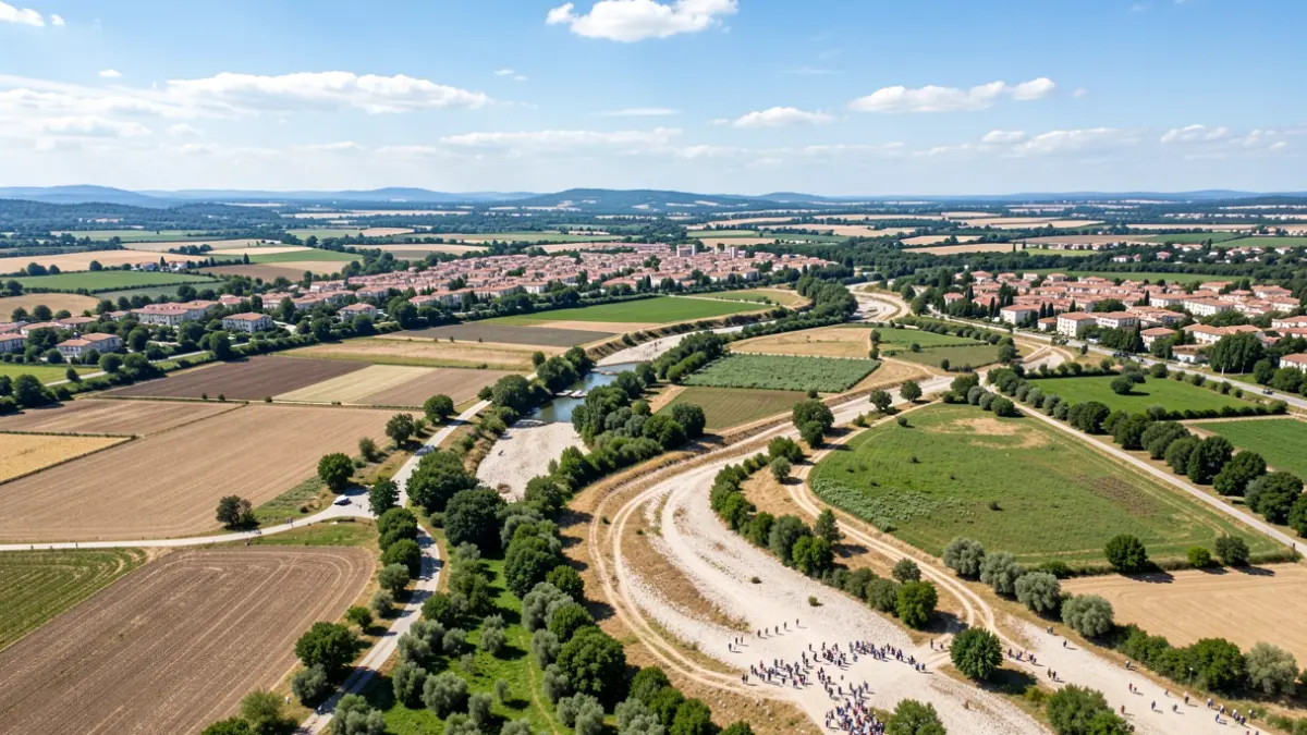
The new planning reinforces the safeguarding of the rural environment and integrates into a green infrastructure strategy, which includes tripling green zones, creating a 19-kilometer green belt, the 21-kilometer Coastal Route, and regenerating ravines.
According to the Councilor for Urban Planning, Antonio Peral, the PGE strengthens the safeguarding of rural territory as a strategy that complements the increase in green areas, the 19-kilometer belt, the Coastal Route, and ravine regeneration.
The objective is to consolidate a more sustainable territorial model, where protected rural land acts as a structuring element of the municipality. The plan identifies protection categories such as valuable agricultural zones (Bacarot, Barranco del Infierno, la Alcoraya), natural areas of high ecological value, and spaces linked to dry riverbeds, key for ecological connectivity.
The PGE also establishes objectives for territorial ordering, such as regulating uses and activities with landscape and environmental integration, promoting compatible agricultural and livestock activities, protecting traditional irrigation systems, controlling exceptional uses, and considering flood risks, while maintaining the visual and ecological quality of the landscapes.