The project, part of the Alfafar 2030 strategy, has had to revise its initial design to incorporate stricter hydraulic safety measures. The Alfafar city council is in contact with the Júcar Hydrographic Confederation and the Generalitat Valenciana to adapt the plan to the new Patricova requirements.
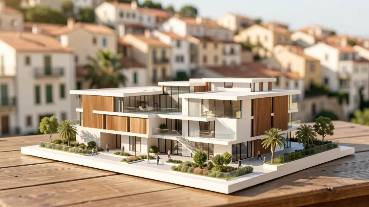
The urban proposal, located between Reyes Católicos Avenue, Pep de l'Horta Avenue, and Veleta Street, proposes an eco-neighborhood model with a high presence of draining green areas. Technical modifications include elevating underground parking and homes above the water level reached on October 29, 2024.
In addition to elevated structures, the design includes underground storm tanks and a lake with absorption capacity. According to municipal sources, these green infrastructures are essential to prevent soil sealing and improve water management during heavy rain episodes.
“"This PAI was prepared before the flood for potential inundations, but now the initially planned measures will be further reinforced with more green surface and water lamination systems."
The council highlights that this initiative, promoted in collaboration with the private sector, also aims to address the housing shortage in the Valencia metropolitan area, offering a residential alternative for young people. The project remains subject to the final technical reports that must validate the area's safety.