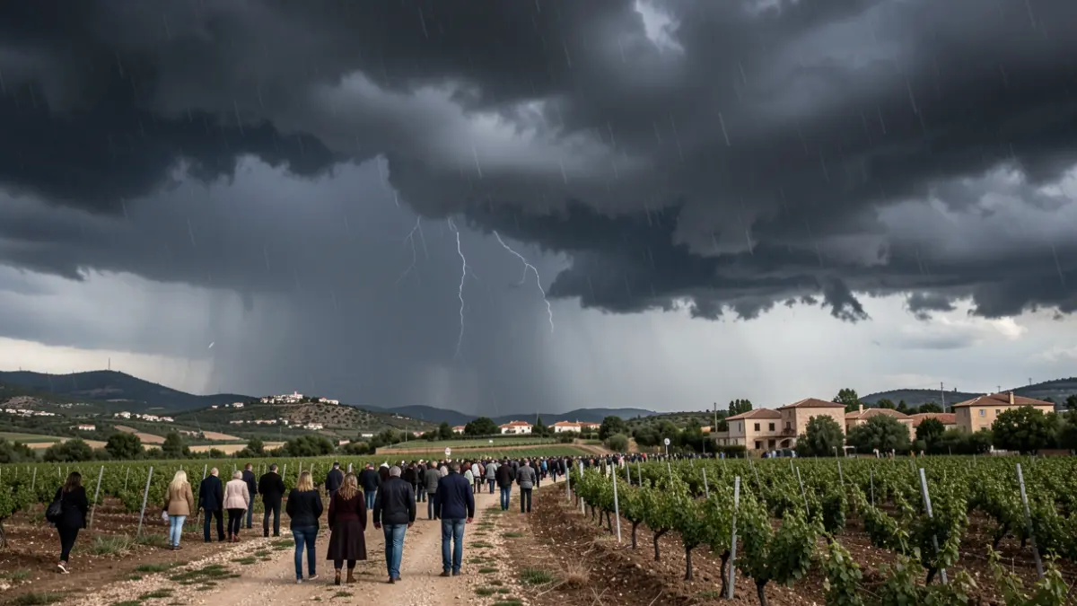
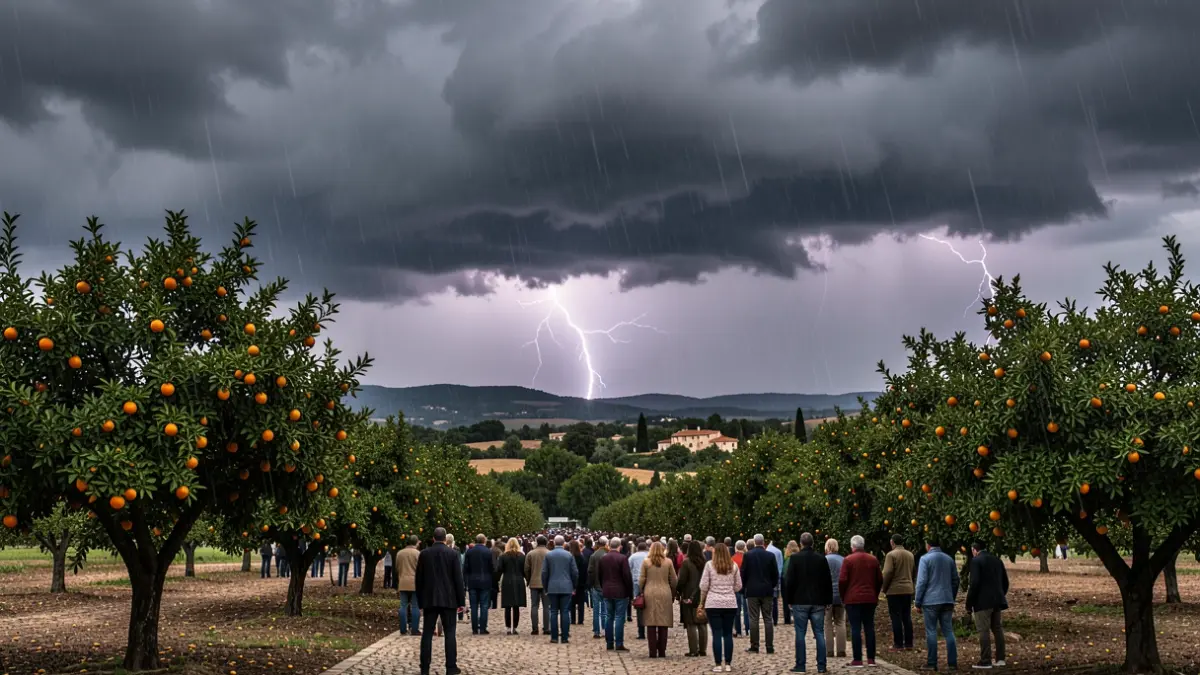
The heatwave recorded in many parts of the Valencian Community in recent days is coming to an end. The State Meteorological Agency (Aemet) forecasts a change in weather for this Sunday, with the arrival of a cold air mass at high altitudes that will bring rain and storms to several areas in the provinces of Valencia and Castellón. The precipitation could be accompanied by hail and very strong wind gusts.
In response to this situation, the Emergency Coordination Center of the Generalitat Valenciana has activated the yellow alert for rain and storms, following Aemet's meteorological warnings. The alert will be in effect between 2:00 PM and 8:59 PM this Sunday, coinciding with the period of highest risk for the development of stormy showers.
The forecast indicates that convective clouds will develop during the central hours of the day, favored by the influx of cold air at high atmospheric levels and the accumulated heat at the surface. This combination will increase the probability of intense, locally heavy stormy showers, especially in inland and coastal areas of Valencia and Castellón.
Specifically, the yellow alert affects the northern interior of Valencia, as well as the northern and southern interior of Castellón, where storms and precipitation are expected, potentially accumulating up to 20 liters per square meter in one hour. Furthermore, Aemet warns of the possibility of locally severe storms accompanied by electrical activity, very strong wind gusts, and even isolated hail.
This change in atmospheric pattern will bring a thermal relief after several days of unusual heat, returning temperatures to values closer to the usual for the beginning of June. Emergencies recommends exercising extreme caution when traveling and avoiding parking or driving in flood-prone areas.