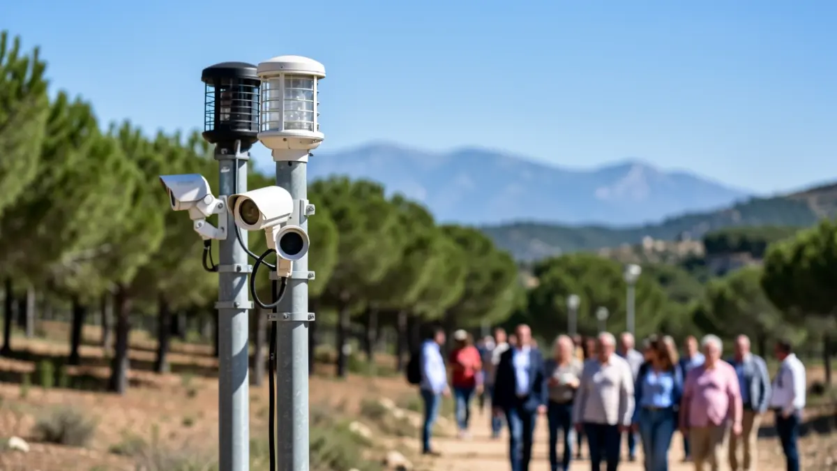
The fight against forest fires in Castellón is being strengthened with cutting-edge technology. The company Pyro Fire Extinction has deployed a system including sensors, cameras, and satellite connectivity to monitor key areas like the Serra Calderona, the Mancomunitat Espadán-Mijares, and the municipality of Montanejos in real-time. These installations provide environmental data, risk maps, and forecast reports, along with live video feeds.
According to data analyzed between April 1st and June 22nd, the Serra Calderona registered more days of high or extreme risk (36) compared to Montanejos (28) and Espadán-Mijares (15). The Serra Calderona also shows the highest fire risk threshold (75) and the highest thermal average.
Innovation extends beyond sensors. Pyro Fire Extinction also utilizes drones for early detection of incipient fires, artificial intelligence and satellite networks to predict fire behavior, and deployable fire-extinguishing capsules for high-risk zones.
In Montanejos, a sensor platform has been operational 24/7 for the past year, complementing the work of human forest guards. Camera information is received by the Local Police via the Lora network, enabling them to verify potential alerts and, if necessary, notify emergency services (112).
Thermographic cameras, powered by artificial intelligence, detect smoke plumes and issue early warnings. The system also measures climatic parameters such as temperature and humidity, which will allow for restrictions on hiking during extreme risk conditions and, in the future, aid in forest restoration efforts.
Furthermore, a project is underway to send alerts directly to hikers' mobile phones, even in areas with no coverage, using the Lora network. Although it won't be ready for this summer, the necessary repeaters are currently being installed.